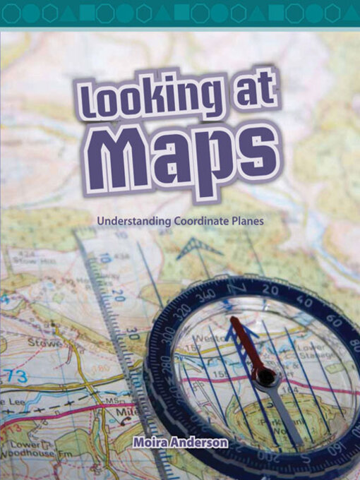
Maps show us where things are in the world with abstract pictures of what is in view. Many maps have grid coordinates that make it easier to locate where something is. A vertical grid line is known as longitude and a horizontal line is known as latitude. Symbols and keys are important parts of maps. A scale helps us know how far apart things are from each other in real life. Compasses also help us know the direction on a map. There are many different types of maps, such as street maps, tourist maps, population maps, and land-use maps.
1 of 1 copy available
1 of 1 copy available
-
Creators
-
Series
-
Publisher
-
Release date
December 17, 2011 -
Formats
-
OverDrive Read
- ISBN: 9781433391507
-
PDF ebook
- ISBN: 9781433391507
- File size: 7440 KB
-
-
Languages
- English
-
Levels
- Lexile® Measure: 610
- Text Difficulty: 2-3
Formats
- OverDrive Read
- PDF ebook
subjects
Languages
- English
Levels
- Lexile® Measure:610
- Text Difficulty:2-3
Loading
Why is availability limited?
×Availability can change throughout the month based on the library's budget. You can still place a hold on the title, and your hold will be automatically filled as soon as the title is available again.
The Kindle Book format for this title is not supported on:
×Read-along ebook
×The OverDrive Read format of this ebook has professional narration that plays while you read in your browser. Learn more here.